NAACC
North Atlantic Aquatic Connectivity Collaborative 

The North Atlantic Aquatic Connectivity Collaborative (NAACC) is a network of individuals from universities, conservation organizations, and state and federal natural resource and transportation departments focused on improving aquatic connectivity across a thirteen-state region, from Maine to West Virginia.
The North Atlantic Aquatic Connectivity Collaborative (NAACC) began in 2015 with startup funding from the North Atlantic Landscape Conservation Cooperative (NALCC) and US Department of the Interior (DOI) Hurricane Sandy Mitigation funds. This funding allowed the University of Massachusetts Amherst to convene a group of experienced people from the Northeastern US who, with the assistance of a technical advisory committee that included over 70 partners, developed a unified protocol for assessing aquatic passability at road-stream crossings and developed a programmatic infrastructure (the NAACC) to support crossing assessments throughout the 13-state North Atlantic region. Organizations represented in this original core group included: The Nature Conservancy, Gulf of Maine Coastal Program, Vermont Fish and Wildlife Department, US Fish and Wildlife Service, North Atlantic Landscape Conservation Cooperative, USDA Forest Service, and the University of Massachusetts Amherst.
The NAACC is a participatory network of practitioners united in their efforts to enhance aquatic connectivity. Thus far the NAACC has:
- Developed a unified protocol, electronic data form, scoring system, and database for road-stream crossing assessments that can help identify bridges and culverts that are problematic from an aquatic connectivity perspective
- Launched an in-person and online training and certification program to ensure data quality
- Created an online database that serves as a common repository for crossing assessment data, including data collected by assessment protocols that pre-date the NAACC
- Developed web-based tools to identify high priority watersheds and crossings for assessment, and to prioritize crossings for upgrade or replacement
- Encouraged and supported efforts to conduct crossing assessments throughout the region
- Begun development of additional crossing assessment modules including: aquatic passability for tidal stream, terrestrial wildlife passability, and culvert condition
The project supports planning and decision-making by providing tools and information on where restoration projects are likely to have the greatest aquatic connectivity benefits and resiliency benefits.
Wyoming County Soil and Water Joins the NAACC Collaborative
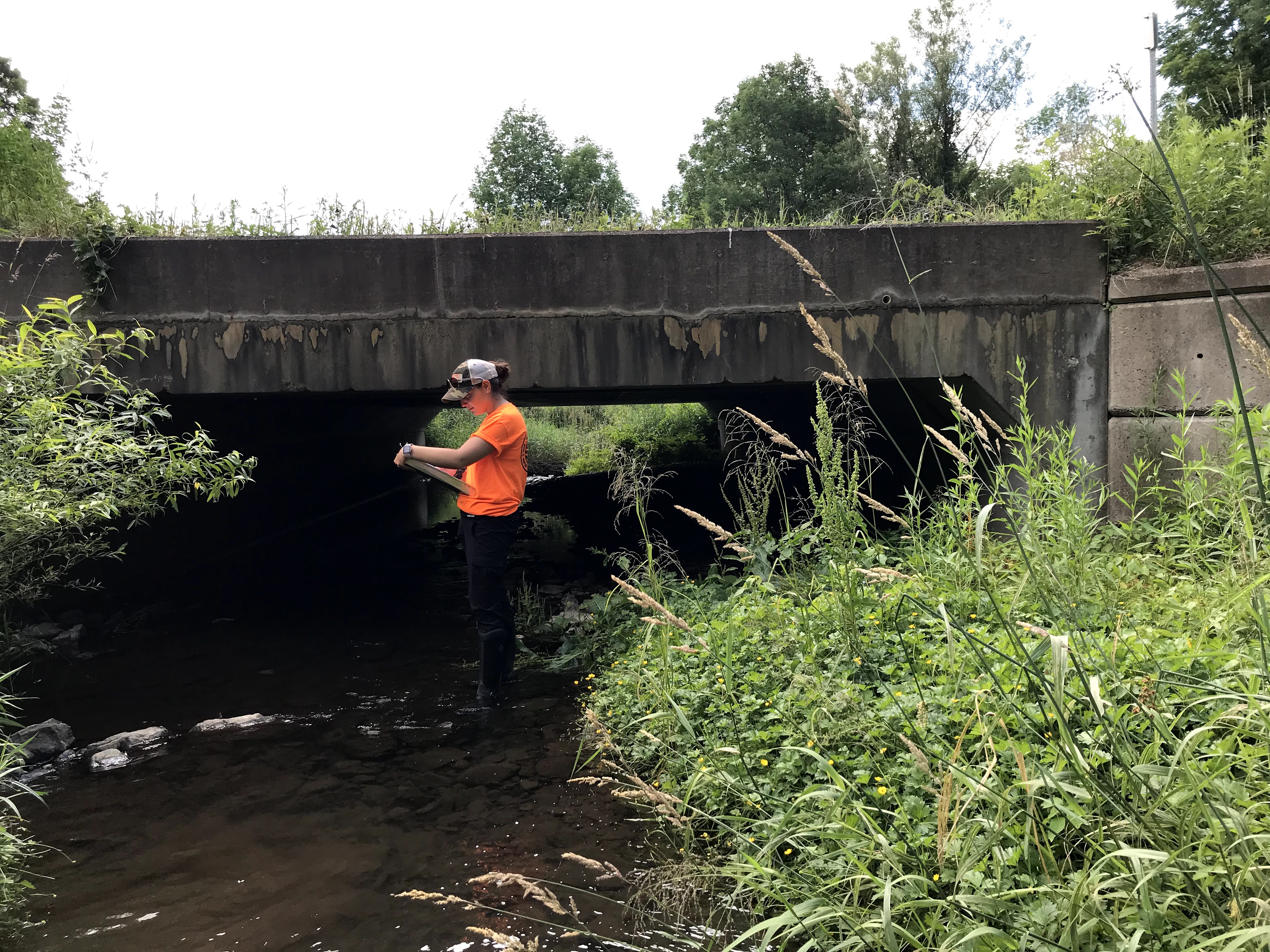
Wyoming County Soil and Water Conservation District has received funds through the New York State Non-Agricultural Nonpoint Source Pollution Planning Grant to implement the North Atlantic Aquatic Connectivity Collaborative (NAACC) Culvert Assessment Program. Currently, the Wyoming County NAACC program involves assessing culverts for aquatic passage in the headwaters of the Cattaraugus and Oatka Creek Watersheds. District Technicians will follow the NAACC program standards and requirements for proper data assessment and evaluation. After the culverts are entered into the database, they are given a possibility score. In conjunction with that score, the culverts will be assessed for severity of erosion, and physical integrity. After considering all concerns the culverts can be prioritized for replacement. Wyoming County SWCD works closely with municipalities and having a priority replacement list will give each organization a focus point for funding applications. The main goal for the project is to evaluate the culverts for passibility, erosion impacts, and physical integrity, therefore, encompassing environmental concerns and public safety.


Culvert Assessments include measurements of culvert height and width, stream bank fill width, condition of culvert, water flow conditions, and presence of undercutting, drops, and scour pools.